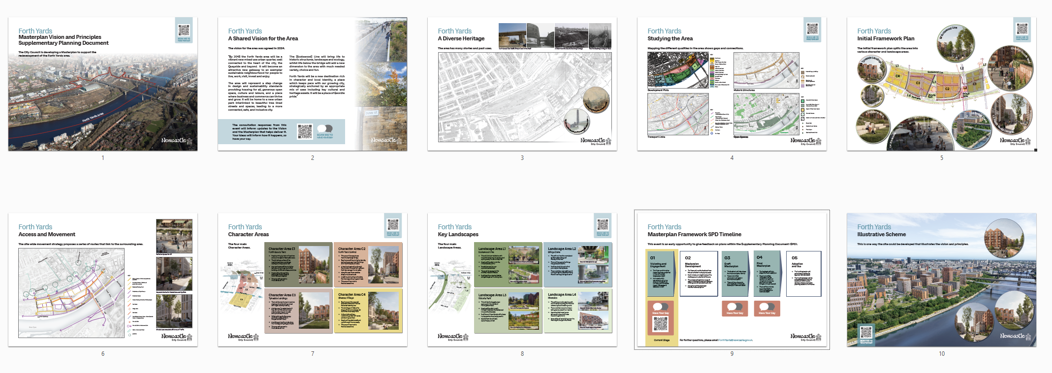
The Forth Yards regeneration programme represents the most significant urban transformation in Newcastle upon Tyne in recent decades. Situated on the north bank of the River Tyne, immediately west of Newcastle Central Station, the 52-acre (approximately 36-hectare) brownfield site is the subject of a comprehensive masterplan designed to deliver up to 2,500 new homes, commercial spaces, and extensive public realm improvements. The area is identified as a prime development opportunity to reconnect the city centre with the western waterfront, overcoming decades of industrial dereliction.
The initiative is anchored by the Quayside West parcel, a 6.2-hectare former leadworks site that has remained vacant since 2002. Progress on the wider site has historically been stalled by complex land ownership, severe topography, contamination, and a lack of primary access infrastructure. However, a highly coordinated public sector intervention has recently altered the delivery trajectory. In 2024, the site was brought into public ownership, and by August 2025, the UK Government confirmed a £121.8 million funding package from the Brownfield, Infrastructure and Land fund to facilitate critical remediation and enabling works.
Delivery is structured through the Forth Yards Public Sector Partnership, comprising the national housing agency, Newcastle City Council, the North East Combined Authority (NECA), and national rail authorities. A revised masterplan is scheduled for formal adoption in late 2026. The regeneration timeline spans from 2027 to 2047, offering long-term supply pipeline implications for the regional housing market, with an initial emphasis on high-density build-to-rent residential models.
Strategic Context and Policy Framework
The Forth Yards area is designated as a Development Opportunity Site (D3) within the Core Strategy and Urban Core Plan for Gateshead and Newcastle. While an initial development framework was published in 2020, fragmented land ownership and profound viability challenges necessitated a more robust, publicly led strategy.
The emerging 2026 Masterplan Supplementary Planning Document (SPD) significantly expands the geographic boundary of the regeneration zone compared to the 2020 iteration. The updated framework explicitly links the city centre to the Newcastle Business Park to the west and St James Boulevard to the north. The central objective of the SPD is to prevent piecemeal development, ensuring that infrastructure burdens (such as access roads and utilities) are managed comprehensively. The strategy relies on securing a unified design framework to unlock the site's complex topography, which cascades dramatically down an escarpment towards the Tyne Gorge.
The regeneration aligns with the city's broader Place Shaping Strategy, which targets the delivery of 15,000 homes across all tenures to accommodate a population projected to reach 340,000 by 2040. Forth Yards is positioned as a critical mechanism for retaining graduate talent and providing high-quality city-centre living alongside the adjacent Stephenson Quarter.
Public Sector Alignment and Procurement Strategy
The transition from a stalled private sector concept to an active delivery phase is entirely reliant on the newly formed Forth Yards Public Sector Partnership. The injection of £121.8 million in public funding is designed to mitigate the abnormal costs associated with land decontamination and the construction of a central spine road.
In autumn 2025, a formal procurement process for a long-term private sector development partner was initiated. The procurement is being managed by commercial real estate advisors, targeting a contract award date of October 2026. The selected partner will initially focus on the delivery of 1,100 homes at Quayside West, with built-in flexibility to expand their remit across the wider 2,500-home Forth Yards scheme as subsequent plots become viable.
The evaluation criteria for the partnership heavily weight quality and placemaking capability over sheer financial return, reflecting a 65 percent quality to 35 percent price scoring matrix. This procurement structure highlights the public sector's focus on creating a sustainable, long-term neighbourhood rather than executing a rapid land disposal.
Core Development Zones and Phasing
The 52-acre masterplan is subdivided into distinct character areas, each advancing at different stages of the planning and delivery cycle.
| Character Area / Plot | Primary Stakeholder(s) | Proposed Primary Use | Known Scale | Current Status |
|---|---|---|---|---|
| Quayside West | Public Sector Partnership | Mixed-use, residential-led | 1,100 homes, hotel, commercial | Partner procurement ongoing to Oct 2026 |
| Forth Goods Yard | Platform4 & Blocwork | Build-to-Rent, mobility hub | 514 homes, 650-space MSCP | Detailed planning application submitted |
| Pottery Lane West | Olympian Homes | Build-to-Rent | 522 homes | Under construction (completion 2027) |
| Newcastle Heliport | MB European Limited | Residential | Up to 356 homes | Planning appeal public inquiry concluded |
| Skinnerburn Road | Private Developer | Student Accommodation | 6 to 9 storey block | Planning granted; groundworks commenced |
| Utilita Arena Site | TBC | Mixed-use | Dependent on masterplan | Active venue, long-term redevelopment |
Quayside West (Former Calders Leadworks)
Quayside West is the largest single plot within the framework, representing a 15-acre footprint (with a 6.2-hectare core). Historically occupied by the Elswick Lead Works until its closure in 2002, the site has seen multiple failed private sector proposals. A previous £250 million scheme by a private developer was repeatedly scaled back (from 1,500 homes to 1,100 homes) before the site was acquired for the public sector.
Under current proposals, Quayside West will accommodate approximately 1,100 homes, alongside a 135-bed hotel, commercial space, and a large central green space designated as Victoria Park. The delivery of a primary east-to-west spine road through this site is mandatory to unlock adjacent parcels, and it forms the central condition of the £121.8 million government funding package.
Forth Goods Yard
Located immediately adjacent to Newcastle Central Station, the 12-acre Forth Goods Yard is advancing rapidly under the guidance of Platform4 (a newly formed government agency merging national rail property assets with regeneration expertise) in a joint venture with developer Blocwork.
A detailed planning application submitted in early 2026 features a major build-to-rent proposition comprising 514 apartments across two blocks. The scheme incorporates an 18-storey Multi-Storey Car Park (MSCP) serving as a mobility hub with 650 spaces. Of these, 649 spaces are allocated for rail users, with extensive electric vehicle charging capabilities included. The project also proposes the conversion of 17 historic railway viaduct arches into commercial and leisure space, driving active ground-floor engagement.
Pottery Lane
The Pottery Lane zone, located between the Redheugh and King Edward VII bridges, is the most advanced section of the Forth Yards area. Developer Olympian Homes is currently constructing 522 build-to-rent apartments. Following significant progress, including the topping out of the concrete frame in 2025, practical completion is scheduled for early 2027. This development serves as the initial anchor for the eastern edge of the masterplan, setting a benchmark for scale and density.
The Newcastle Heliport Dispute
The Newcastle City Heliport site, located on Railway Street to the west of the Utilita Arena, highlights the strict infrastructure dependencies enforced by the local authority. Landowner MB European Limited proposed an £86.6 million scheme to build up to 356 apartments across a series of mid-rise blocks.
Newcastle City Council refused the application, arguing that the site cannot be developed piecemeal without the prior construction of the Quayside West spine road. The council characterised the current access via Tyneside Road as isolated and unsafe for residential use. An appeal to the Planning Inspectorate (Reference APP/M4510/W/25/3367599) resulted in a comprehensive public inquiry in late 2025. The council's robust defence of its position demonstrates the local planning authority's commitment to comprehensive, rather than fragmented, regeneration.
Infrastructure, Connectivity and Public Realm
The Forth Yards masterplan places a heavy emphasis on active travel and green infrastructure, aiming to mitigate the site's challenging gradients and historic isolation.
The Newcastle Highline
A flagship component of the movement strategy is the Newcastle Highline, inspired by the elevated park in Manhattan, New York. The proposal intends to repurpose the disused former Newcastle-Carlisle railway viaduct into a mile-long linear park.
Running from Central Station through Forth Yards and alongside Scotswood Road, the elevated greenway is designed to separate pedestrian and cycle traffic from major vehicular routes. It acts as a critical piece of active travel infrastructure, intended to stimulate investment by transforming a redundant rail spur into a highly visible public asset. The conversion of the arches beneath this route forms a central part of the Forth Goods Yard planning application.
Topography and Street Hierarchy
The topography of the Tyne Gorge requires substantial engineering to ensure accessibility. The masterplan dictates the creation of Bridge Dene, a multi-level threshold space creating a linear north-south route linking Newcastle College to the Quayside. A new street hierarchy will restrict private vehicle dominance, establishing a primary bus and vehicle spine road connecting Forth Banks to Dunn Street, flanked by rain gardens and sustainable urban drainage systems.
Regional Connectivity and the Tyne Footbridge
Early consultation imagery highlighted an aspirational proposal for a new pedestrian and cycle footbridge connecting Newcastle to Gateshead, located adjacent to the existing Redheugh Bridge. However, local authority officials have heavily caveated this proposal, describing it as a costly and complex long-term ambition rather than an immediate deliverable.
Any new river crossing faces severe financial and logistical hurdles, given the ongoing maintenance burdens of existing infrastructure. The adjacent Redheugh Bridge requires repairs for concrete spalling, the Swing Bridge has faced mechanical issues, and the iconic Tyne Bridge is undergoing a massive four-year restoration programme due to conclude in 2028. Consequently, while a new footbridge remains a long-term masterplan objective, immediate connectivity enhancements will rely on upgrading existing pathways, such as the Hadrian's Way riverside route.
Heritage Integration and Environmental Remediation
The physical delivery of Forth Yards is heavily constrained by its industrial past, requiring deep-level remediation before vertical construction can commence.
Contamination and Mining Legacy
The former Elswick Lead Works (Calders site) has left a legacy of ground contamination, including lead, arsenic, asbestos, and hydrocarbons. Furthermore, parts of the site are designated as Development High Risk Areas due to historic coal mining operations, necessitating extensive surveys for mine shafts, geological faults, and hazardous ground gases. The £121.8 million public funding is expressly allocated to manage these abnormal ground conditions, effectively derisking the site for the incoming development partner.
Ecological Baseline and Biodiversity
Despite its industrial history, the site has naturalised over the past two decades. The area sits within the River Tyne Wildlife Enhancement Corridor and supports priority habitats, formally classified as Open Mosaic Habitat. Protected species, notably the Dingy Skipper and Grayling butterflies, have been recorded across the wider site. Masterplan policies require all individual development plots to demonstrate a minimum 10 percent biodiversity net gain, which will be achieved through the integration of the Highline and Victoria Park.
Heritage Assets
The masterplan mandates the sensitive integration of the area's historic rail and industrial infrastructure. The Grade II listed King Edward VII Railway Bridge defines the eastern boundary, while non-designated assets, including the Victorian Elswick Wharf timber platforms and the vaulted undercrofts of the Forth Goods Yard, are earmarked for retention and commercial conversion. Heritage groups, including the Northumberland and Newcastle Society, have actively scrutinised planning applications to ensure the preservation of these irreplaceable Victorian structures, ensuring the new neighbourhood retains a distinct sense of place.
Market Evidence and Economic Implications
The regeneration of Forth Yards carries significant implications for the Newcastle real estate market, local economy, and demographic distribution.
Residential Supply and Rental Market Dynamics
Local property evidence indicates a stable, accessible housing market in the broader local authority area.
| Area Scope | Location Type | Latest Reporting Month | Median Transaction Price | Sales Volume |
|---|---|---|---|---|
| Newcastle upon Tyne | City | February 2026 | £212,500 | 162 |
The introduction of up to 2,500 new homes in a prime city-centre location represents a material expansion of the urban housing supply. The initial phasing is overwhelmingly focused on the Build-to-Rent sector (evidenced by the 522 units at Pottery Lane and the proposed 514 units at Forth Goods Yard). This suggests a targeted strategy to capture young professionals, graduates, and transient corporate workers who require immediate access to the Central Station and city-centre amenities.
While this concentration of stock will substantially increase high-quality rental supply, it is introduced in a staggered timeframe (2027 to 2047), which is likely to mitigate the risk of sudden market saturation. Rents in these newly delivered, amenity-rich blocks are expected to set a premium benchmark for the NE1 postcode, though secondary market rental demand may face competitive pressure as tenants migrate to newer stock.
Economic Impact
The construction phase over the next two decades will secure hundreds of jobs, alongside substantial supply chain expenditure. Operationally, the mixed-use elements of the masterplan (including the proposed 135-bed hotel, retail units, and commercial arches) are projected to generate long-term employment. Earlier iterations of the Quayside West plan estimated the creation of 575 operational jobs and an annual local economic boost of approximately £26 million. The provision of modern Grade A commercial space within the restored viaduct arches will also support the growth of small and medium enterprises in the creative and leisure sectors.
Due Diligence Considerations for Investors
Investors and developers assessing opportunities within the Forth Yards zone or the broader Newcastle market should observe several critical due diligence factors:
- Infrastructure Dependencies: The local planning authority has demonstrated a zero-tolerance approach to piecemeal development that lacks adequate supporting infrastructure. The ongoing Newcastle Heliport public inquiry clearly illustrates that isolated plots will face intense planning resistance unless connected to the masterplan's primary spine road.
- Abnormal Site Costs: The necessity of the £121.8 million government grant underscores the severe financial viability gap inherent in this site. Private sector participants must rigorously assess ground remediation, retaining wall construction, and utility diversion costs.
- Delivery Timeframes: While specific plots like Pottery Lane will deliver housing by 2027, the wider Quayside West and Forth Yards vision is a multi-decade endeavour. Investors appraising off-plan opportunities or secondary market impacts must account for long-term construction disruption and the phased delivery of critical amenities.
- Macro-Economic Sensitivities: The reliance on large-scale formats makes the scheme sensitive to broader macroeconomic conditions, including institutional funding appetite. However, the presence of public sector backing provides a layer of counter-cyclical stability.
Conclusion
The Forth Yards and Quayside West regeneration is a highly complex, strategically vital project that seeks to correct decades of urban severance in Newcastle upon Tyne. By combining substantial central government funding with a rigorous, publicly led masterplan, the city is attempting to mitigate the profound physical and financial barriers that previously halted private sector delivery.
The project transitions Newcastle's development focus from the traditional Quayside to the western waterfront, capitalising on proximity to Central Station. While the long-term vision includes aspirational infrastructure such as the Newcastle Highline, the immediate reality over the next five years will involve intensive ground remediation, the delivery of initial plots at the eastern fringes, and the finalisation of a primary development partnership. For the regional property market, Forth Yards represents a steady, managed pipeline of high-density housing that will fundamentally reshape the city's residential demographics and economic geography over the next twenty years.